RAINDROP
Underwater Acoustics
RAINDROP (ReAl-tIme uNDeRwater acOustic maPs) is a toolbox developed by blueOASIS, tailored to elevate our suite of marine services through enhanced underwater acoustic mapping capabilities. Moreover, it is also part of HydroTWIN, the first underwater acoustic digital twin of the ocean. Its purpose is to deliver real-time accurate acoustic marine assessments, crucial for environmental studies, strategic planning, and scientific research.
By seemingly integrating Python with normal-mode acoustic propagation solvers RAINDROP is able to efficiently process complex marine data, including bathymetry, metocean information, and Automatic Identification System (AIS) data.
Simple Inputs, Comprehensive Data
Traditional acoustic propagation solvers can be cumbersome, especially to produce maps at a large scale. RAINDROP is a platform/wrapper that streamlines/automates the generation of noise maps:
- Python-based
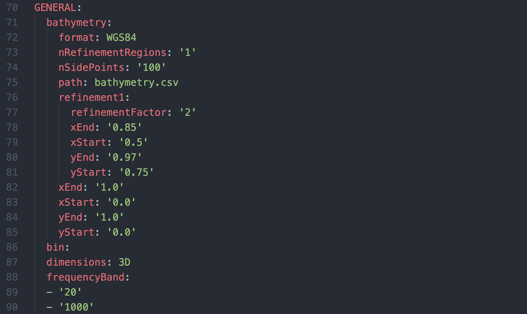
- User-friendly input through documented YAML files
- Reduced number of commands to run a simulation
- Automatic postprocessing workflows with web-based visualization
Future-ready
RAINDROP was built from scratch, and is being actively developed, with the intent of bringing underwater acoustic modelling to the 21st century:
- Modern code architecture, with integrated DevOps
- HPC-ready parallelization for maximum performance
- Solver agnostic for applicability across different environments
- Development of alternative solvers based on AI PINNs
- Coupling with HydroTWIN data for real-time source tracking
Application Examples
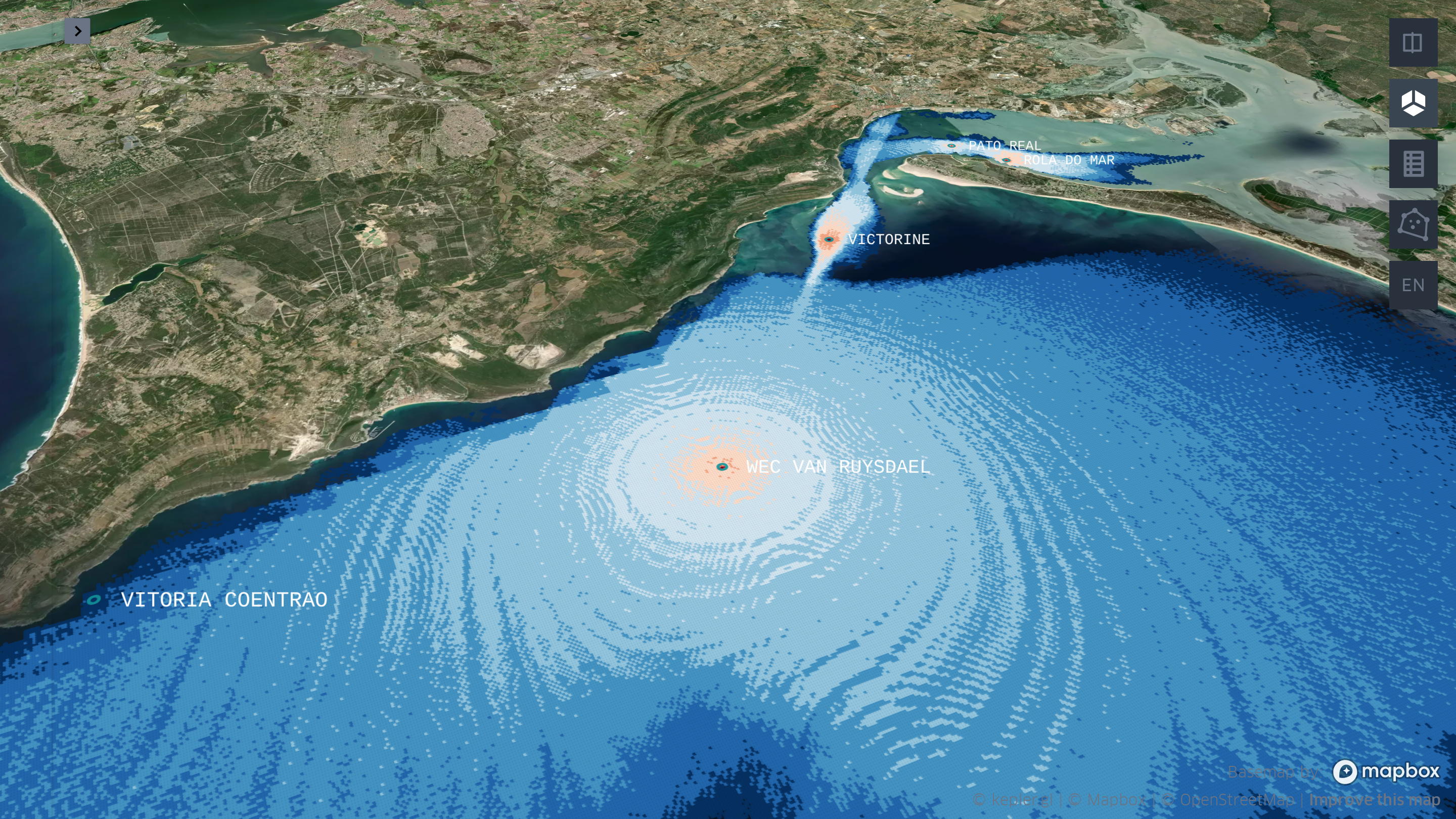
In September 2023, RAINDROP was successfully deployed during the NATO military exercise REPMUS2023, organized by the Portuguese Navy in Setúbal, Portugal. Real-time noise maps were produced, that enabled the underwater noise footprint of the exercise to be assessed. With the hydrophone data collected in the region by blueOASIS, this is just one of the datasets being used for the validation of RAINDROP.


